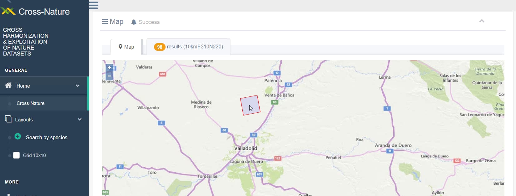
Cross-nature linked data viewer is a tool developed to study the integration of Linked Open Data (LOD) technology with Geographical Information Systems (GIS). With this purpose, RDF triplets describing the 10×10 cell spatial grid used in EIDOS database were generated.
Using geoSPARQL queries, it is possible to obtain the geographical cell that contains a particular location in the map, along with any information associated to the cell.
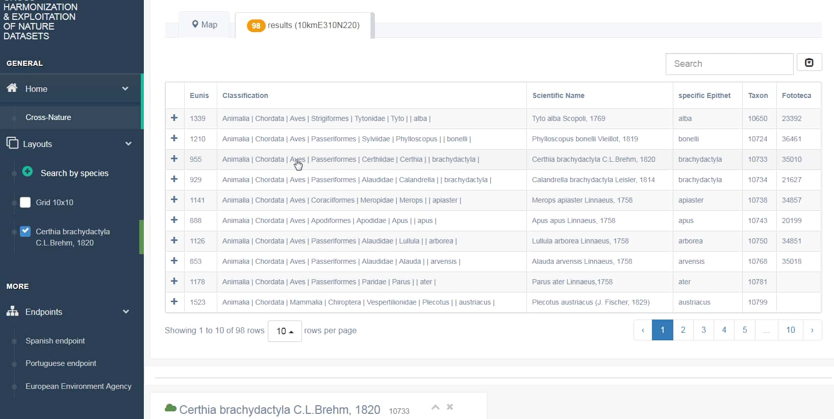
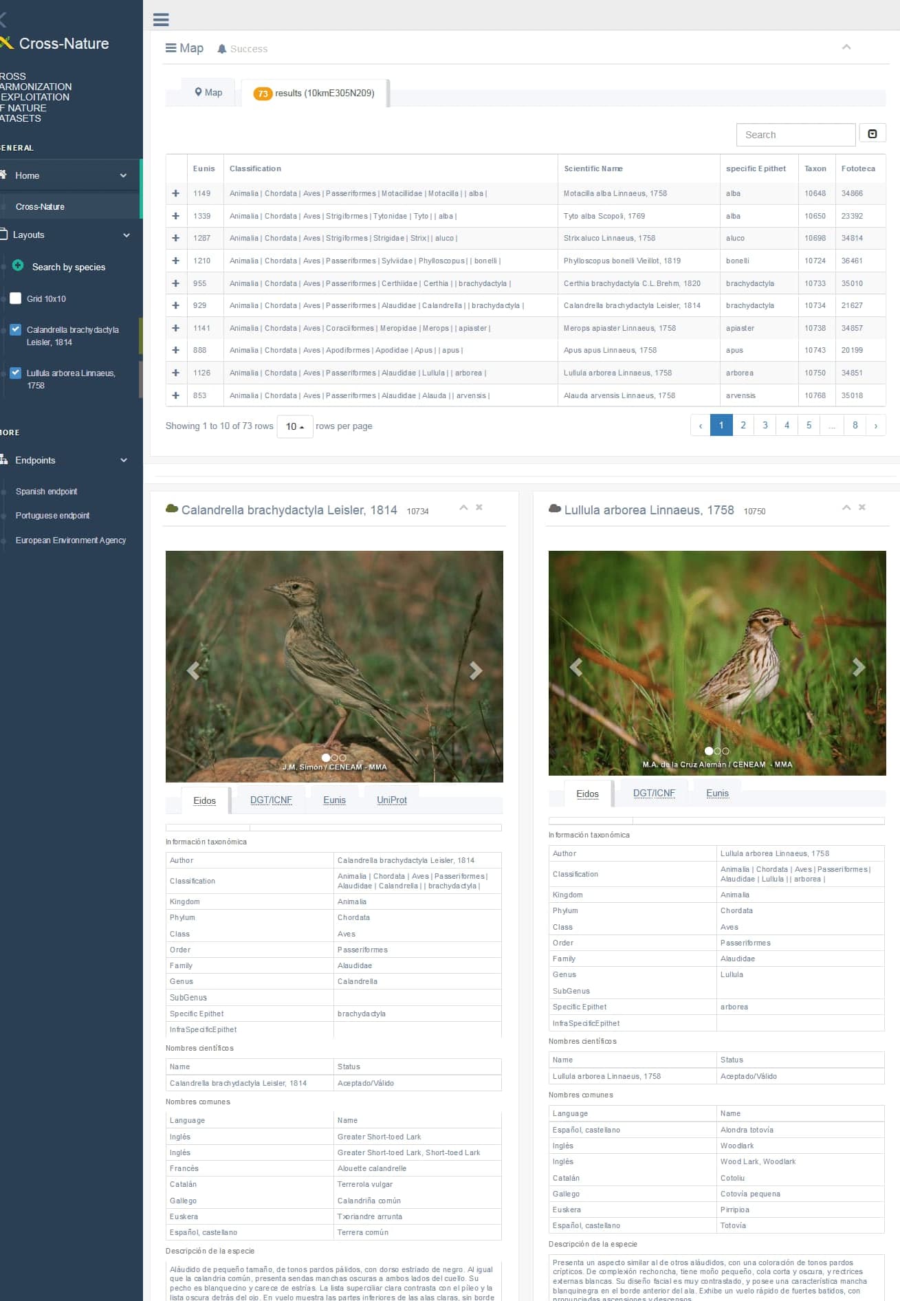
Clicking on any row of the table, you will obtain the information of the species published in different endpoints such as Eidos, Eunis, DGT and Uniprot.
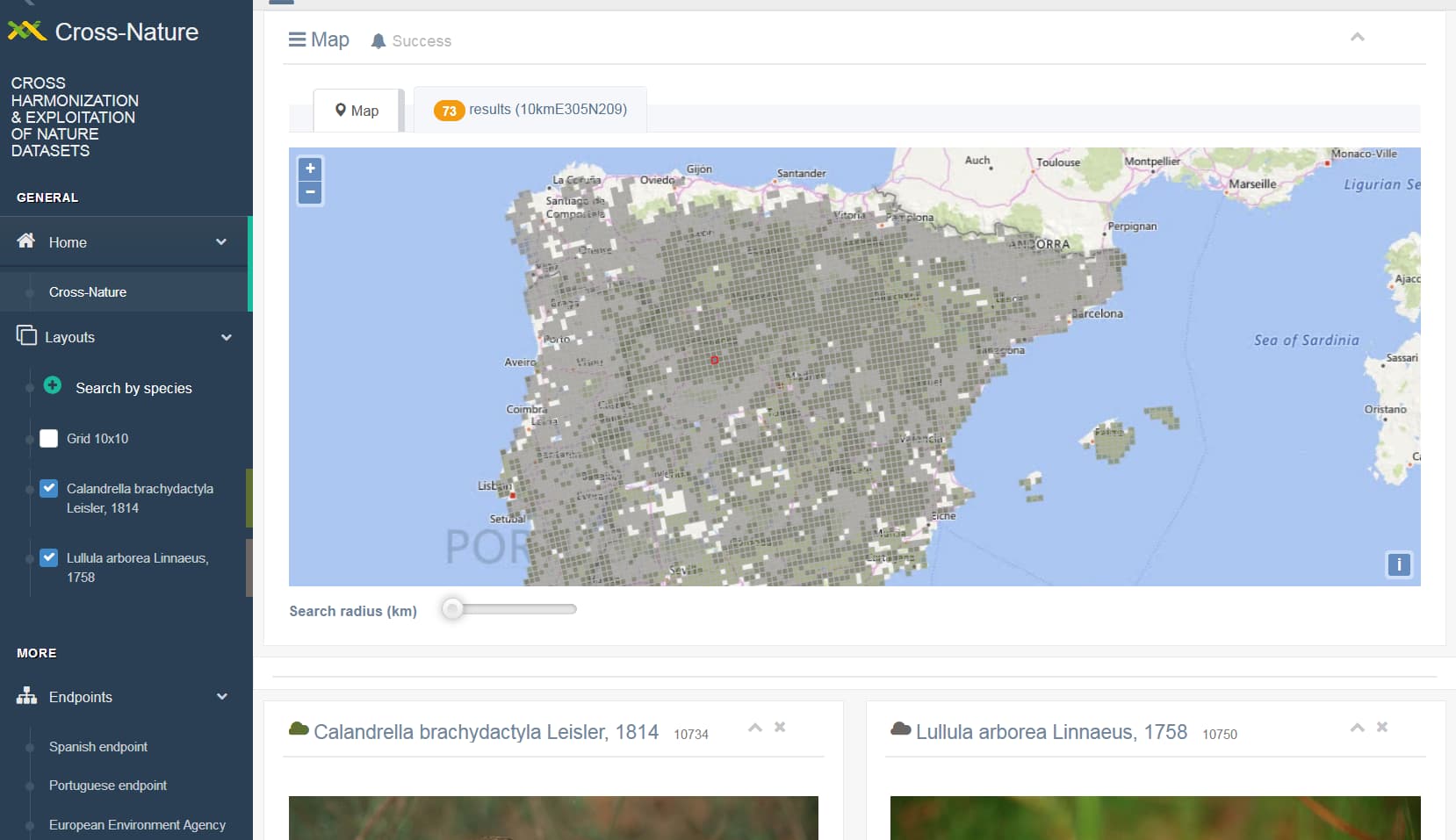
Finally, a conventional cartographic service draws the location of the species on the map.
Crossnature linked data viewer